Cycle 3 (2014 Deadline) Assessment of real evapotranspiration and recharge processes on two karst pilot groundwater catchments (Lebanon) using an integrated spatially distributed numerical model: applications for water resources management purposes U.S. Partner: Jason G. Gurdak, San Francisco State University
Project Dates: September 2014 to December 2018
Project Overview
About 25% of the freshwater worldwide originates from karst aquifers. These aquifers are a source of a very important supply but are also highly heterogeneous. They are characterized by a duality of recharge and flow, which directly influences the groundwater flow and spring responses. Given this heterogeneity in flow and infiltration, karst aquifers are very difficult to conceptualize, as they do not always obey standard hydraulic laws. Estimates of real evapotranspiration and recharge to aquifers are needed in the computation of the water balance of an aquifer catchment area. Karst aquifers are the predominant type of aquifer in Lebanon, and an accurate estimation of input parameters (recharge, real evapotranspiration) in catchment areas is not available for the appropriate assessment of groundwater resources at a national level. Prior to this project, only a few groundwater-distributed/lumped numerical models had been done on selected catchments in Lebanon due to the scarcity of data and the difficulty in simulating highly heterogeneous karst aquifers.
This project aimed to estimate real evapotranspiration and recharge on karst aquifers and validate it using numerical simulation using physical data, with experimental sites set up in Lebanon for water quantity and quality monitoring and used as pilot areas for further studies. This study set the ground for delineating recharge areas and identifying zones of high vulnerability to contamination, and consequently, enabling establishment of adequate measures for water protection and management.
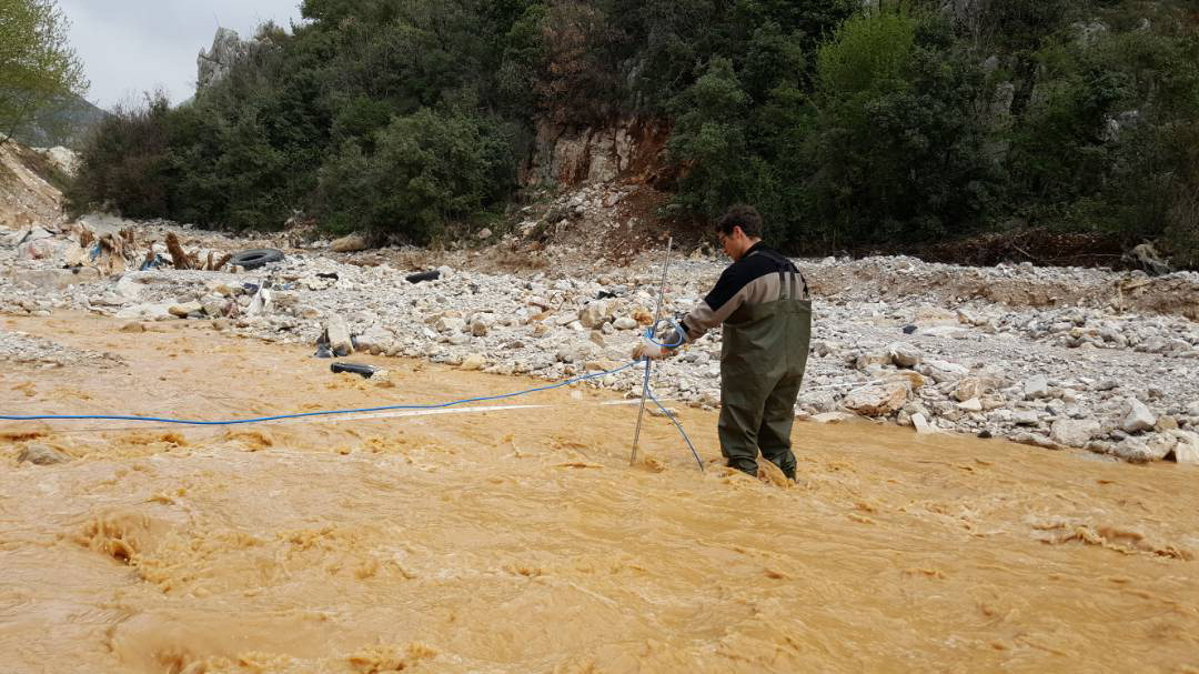
 | | Flow measurement in a river during sampling for micro-pollutants |
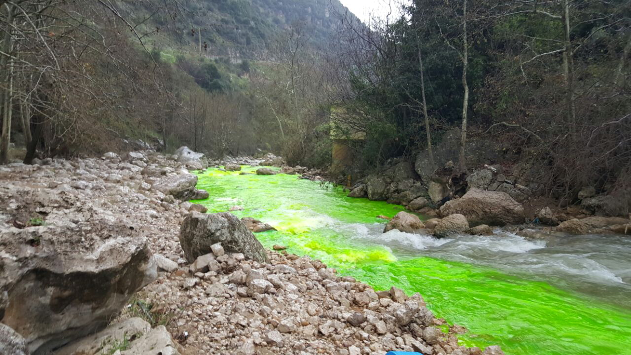
 | | Tracer injection in a river to detect exchange between river and spring |
Final Summary of Project Activities
The objective of the project was to set up two pilot areas and conduct high-resolution, long-term monitoring for research and water supply purposes. The data collected over the four years throughout the project on two pilot areas was used to simulate flow in an integrated numerical distributed and semi-distributed models and to understand flow mechanisms in the system and predict future flow at the spring under varying climatic scenarios. The final objective was to conduct detailed sensitivity analysis on key-vulnerability parameters and refine the weights attributed to them in qualitative vulnerability mapping methods.
The PEER project provided the opportunity to set up a hydrogeological division at AUB, and students benefited greatly from this experience. Students who have graduated after being involved in this project have succeeded in landing jobs in engineering or hydrological firms. Applied materials from two courses, GEOL318 and GEOL330K (hydrogeology and hydrology of fractured and karst rocks) taught in several semesters at AUB, were based on this research project. The applications included in a new graduate course (Applied methods in hydrogeology: GEOL 330I) were mainly related to the pilot sites of this project as well.
In terms of potential development impacts, the developed integrated hydrological model could be presented to decision makers as a tool to forecast needs for alternative water supply resources for the future, in the face of climate change conditions and increasing urbanization. To ensure implementation of this project and its continuity, during the last months of the project, the PEER team: (1) finalized and validated the vulnerability assessment; (2) collected and processed data from the monitoring network, as well as updated the models with new data; (3) refined the catchment characterization, especially the parameters playing a role in model output and vulnerability. (4) used the results of the vulnerability study to tailor guidelines for groundwater catchment protection in karst system for Lebanon; and (5) convened a dissemination workshop with the municipalities of Bikfaya and Kfarzebbiane and various water establishment stakeholders to increase awareness in terms of water quality and quantities.
Publications
E. Dubois, J. Doummar, S. Pistre, and M. Larocque. 2020. Calibration of a lumped karst system model and application to the Qachqouch karst spring (Lebanon) under climate change conditions, Hydrology and Earth Systems Science 24(9): 4275–4290. https://doi.org/10.5194/hess-24-4275-2020
J. Doummar, A. Kassem, and J. Gurdak. 2018. Impact of historic and future climate on spring recharge and discharge based on an integrated numerical modelling approach: Application on a snow-governed semi-arid karst catchment area. Journal of Hydrology 565: 636-649. https://doi.org/10.1016/j.jhydrol.2018.08.062
J. Doummar and M. Aoun, 2018. Assessment of the origin and transport of four selected emerging micropollutants sucralose, Acesulfame-K, gemfibrozil, and iohexol in a karst spring during a multi-event spring response. Journal of Contaminant Hydrology 215: 11-20. https://doi.org/10.1016/j.jconhyd.2018.06.003
J. Doummar and M. Aoun. 2018. Occurrence of selected domestic and hospital emerging micropollutants on a rural surface water basin linked to a groundwater karst catchment. Journal of Environmental Sciences 77: 351. https://doi.org/10.1007/s12665-018-7536-x
|


