|
Cycle 4 (2015 Deadline)
Using integrated modeling framework to evaluate the impact of human-induced land use/land cover change on carbon dynamics in Upper Ewaso Ngiro River Basin, Kenya
PI: Stephen Kiama (mastakim500@yahoo.com), Kenya Forestry Research Institute
U.S. Partner: Scott Goetz, The Woods Hole Research Center
Project Dates: October 2015-March 2019
Project Overview
The goal of the project is to strength monitoring and prediction of the dynamics of ecosystem services, primarily carbon and water balance in wooded and open grasslands. This research team’s contribution lies in advancing a scientifically and operationally robust methodological framework that will be able to quantitatively evaluate terrestrial carbon and water fluxes. Specifically, they will integrate complementary approaches, including ground-based observations, remotely sensed measurements, and modeling, combining their strengths with an aim of circumventing shortcomings of stand-alone approaches, as well as enhancing the predictive power of the integrated modeling framework. The project will involve testing the use of modern tools such as hyperspectral images or images captured by drones to improve spatial resolution of characterizing patterns of vegetation composition and functional traits. The researchers will study the use of such tools to support plot-level inventory needed to drive a Landsat-based geometrical-optical model for characterizing the vegetation structure. 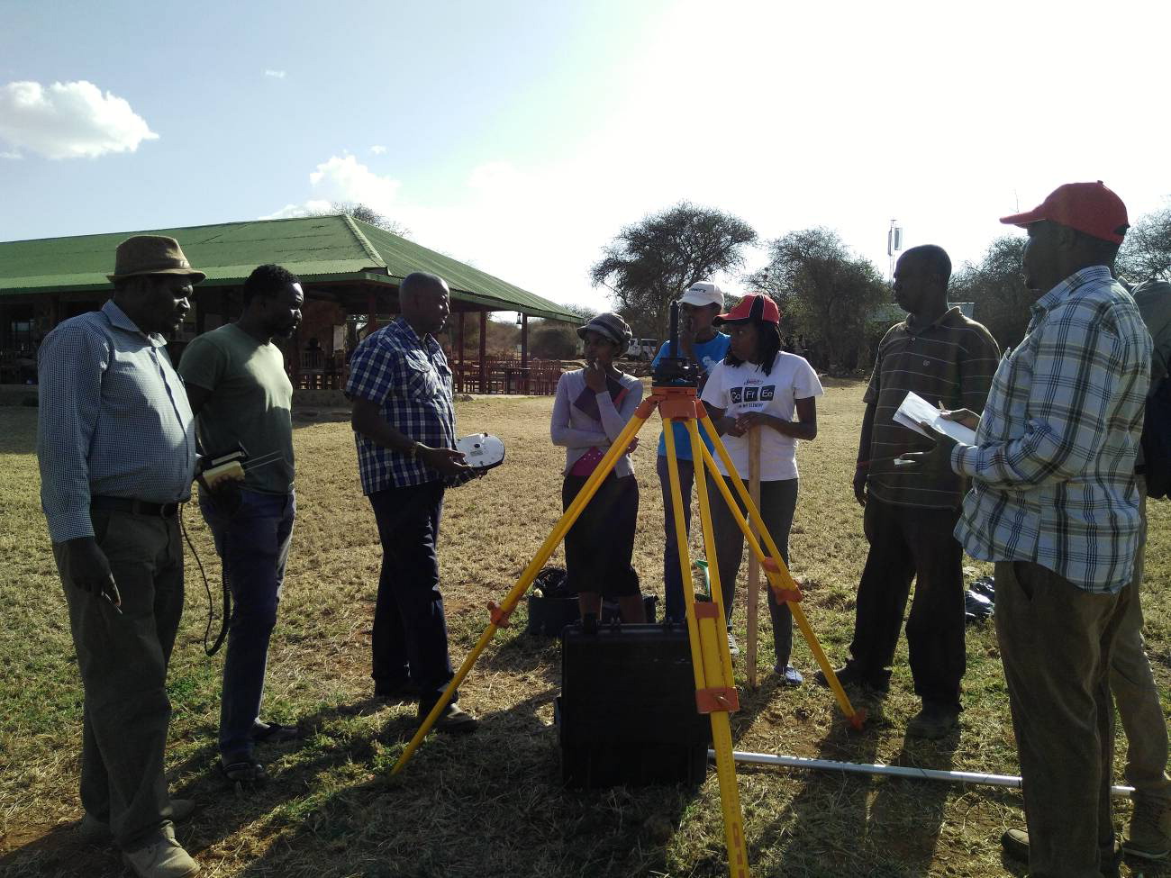 | 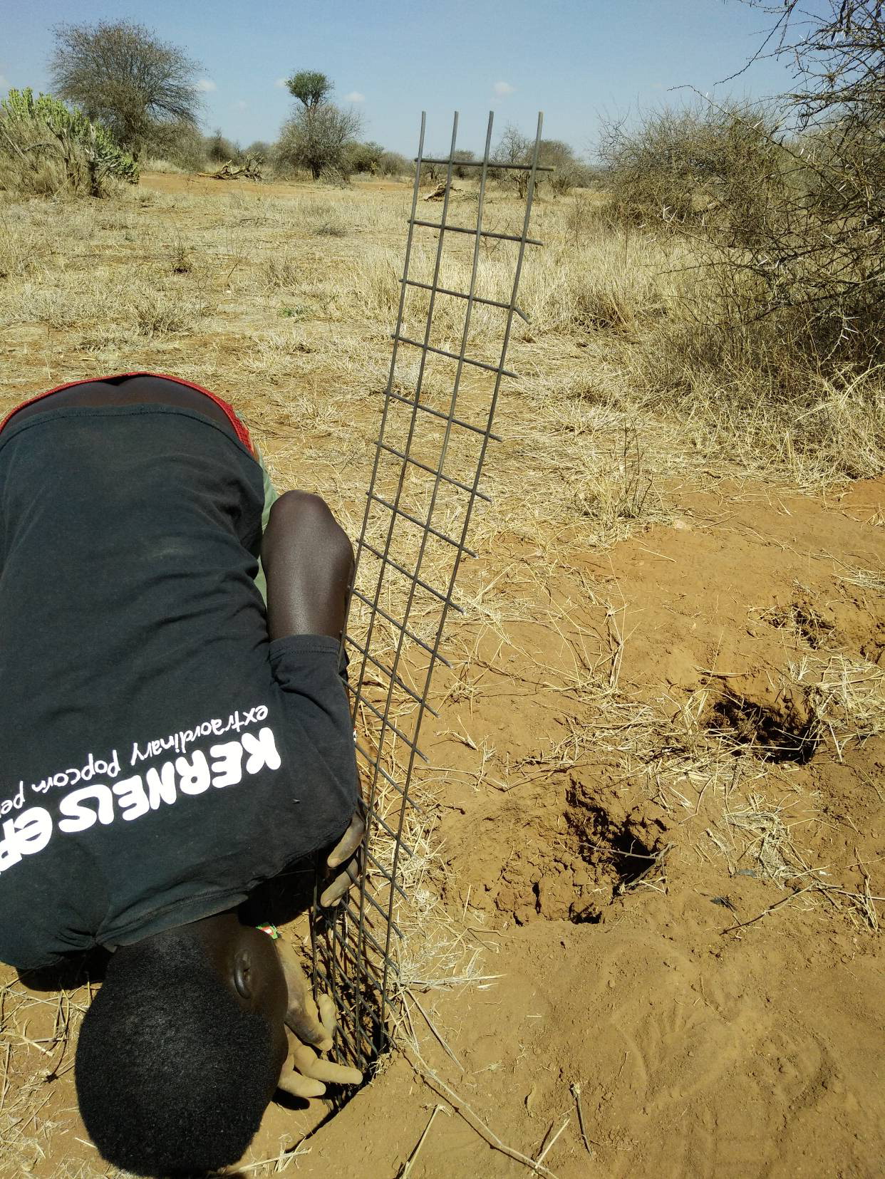 | Field-based Training on Topographical Mapping using Differential GPS Technology. | Preliminary study of root biomass density distribution. |
This research will support the monitoring effort for long-term sustainability of arid and semi-arid lands (ASALs including grasslands) in Kenya, a critical element in advancing environmentally sustainable economic growth. In particular, the research will enhance understanding of the extent to which human-induced terrestrial disturbances modify the ecosystem services, primarily the dynamics of carbon and water fluxes. In addition, the research will improve methodologies for objectively identifying hotspot areas that are potentially vulnerable to changes in carbon and water fluxes. These focus areas will contribute to developing evidence-based tools that could be used to influence policy and legislation related to land-use management. Such an output should help the government to target interventions that will contribute to reducing economic and social losses from climate change and variability in potentially vulnerable areas. This will help in reversing the degradation trend in the ASALs and improve restoration of ecosystem functions. The research also aims to strengthen the Natural Resource Forum in the respective counties, a grouping that brings together government technical officers of the line ministries, departments, and agencies and representatives of civil society. Working with the Natural Resource Forum will facilitate engagement of a wider range of stakeholders and local communities, sensitizing them to the research findings and sharing educational materials. This effort will support effective education of local actors, improve management of natural resources, and ensure the restoration of ecosystem functions to support more sustainable resource use.
Final Summary of Project Activities
The goal of this project was to strengthen the monitoring and prediction of the dynamics of ecosystem services, primarily carbon and water balances in wooded and open grasslands. Specifically, the team sought to integrate complementary approaches, including ground-based observations, remotely sensed measurements, and modeling, combining their strengths with an aim of circumventing shortcomings of stand-alone approaches, as well as enhancing the predictive power of the integrated modeling framework.
The team collected massive amounts of data on biophysical variables in both Mpala and Ilmotiok study sites, which they continue to organize and analyze. As the data is progressively being analyzed, there is a better understanding of the land surface, including the biophysical properties and processes. Moreover, the existing operational Terrestrial Carbon and Water Observatory is yielding more data to generate more insights. Using real data, they are progressively generating comparable statistics along the gradient of anthropogenic pressures, i.e., showing the disparity between Ilmotiok and Mpala sites on factual basis. The on-going analysis of the collected biophysical data and efforts to fit empirical models and calibrating process-based models, is itself rewarding in terms of enriching critical modeling skills which has been lacking among Kenyan scientists. Since they are doing this as a group (including the students who have been participating in the project, they are thus building long-term capacity. The fitted/calibrated models, on preliminary basis, are simulating those targeted biophysical phenomena fairly well, and already demonstrated their potential as operational tools.
During the course of this project, the PI and his team developed a good working relationship with key offices of the County Government of Laikipia. The visit by a team from the County Government of Laikipia to the Terrestrial Carbon and Water Observatory, provided a good basis to advise the County Government on impact-based targeting of their investments. During the 2018/2019 financial year, the County Government allocated funds for re-seeding some of the degraded rangelands. This was the first time the County Government allocated money meant to contribute towards rangelands rehabilitation. Although the funds were just a start, it demonstrated the value of the evidence-based advice to the County Government.
The team also developed collaborations with other organizations implementing programs in the same locality such as the IMARA Program being implemented by the World Vision (Kenya) and Stockholm Environment Institute (SEI Africa). The program will use data generated by the PEER Project to generate baseline research to then evaluate improvements after interventions.
The research is now entering a new phase which is aimed at rehabilitating the degraded pastures and securing the livelihood of the pastoralist. The primary focus of the research will be to test potential (social and physical) technologies that would be practically feasible to be adopted at a large scale, yet being simple in terms of cost and implementation. The second focus of the research will be maintaining the existing Terrestrial Carbon and Water Observatory, together with the network of sensors, for purpose of using the data that continue to be generated and used to monitor the success of restoration interventions. The third focus of the research would be to discuss with the County Government, and test or pilot new policy and/or legislative tools that would serve as opportunity for the government to stimulate the pastoralists to adopt the restoration strategies, as well as mobilizing the support of the commercial ranchers.
Back to PEER Cycle 4 Grant Recipients
| 


