The PEER team ran three cohorts of the Digital Internship and Leadership (DIAL) program. Through DIAL, they trained young people from diverse academic backgrounds in open mapping using OpenStreetMap (OSM) and assigned them mapping and digital leadership-related tasks. After each cohort, researchers studied the students’ experience to improve the program for the next group and analyzed their mapping behavior, making a qualitative assessment of mappers' contribution to OSM in Nepal. Participants developed multiple skills in the mappers including affective learning, technical skills and digital literacy, cognitive skills, geography-based knowledge, and professional skills, among others.
Throughout the project period, researchers worked closely with local governments to study how Open Mapping contributes to sustainable development at the local levels. They identified three Nepalese municipalities—Budhanilkantha, Pokhara Lekhnath, and Nilkantha—as study sites and conducted a focus group discussion in Budhanilkantha Municipality to understand how the local government would use geo-referenced data and Open Mapping infrastructure in their planning and decision-making process. Based on this work, the PEER team generated policy ideas for local governments to use open mapping as a local geospatial information
infrastructure by engaging youth. The PI and team also presented their findings at the Impacts of Civic Technology Conference and State of the Map Asia 2017.
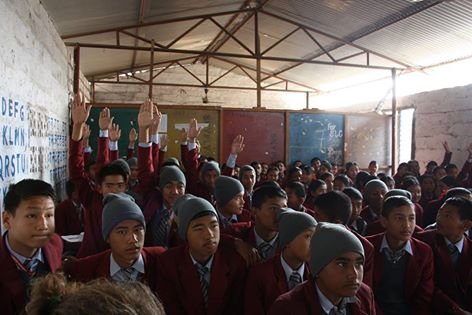
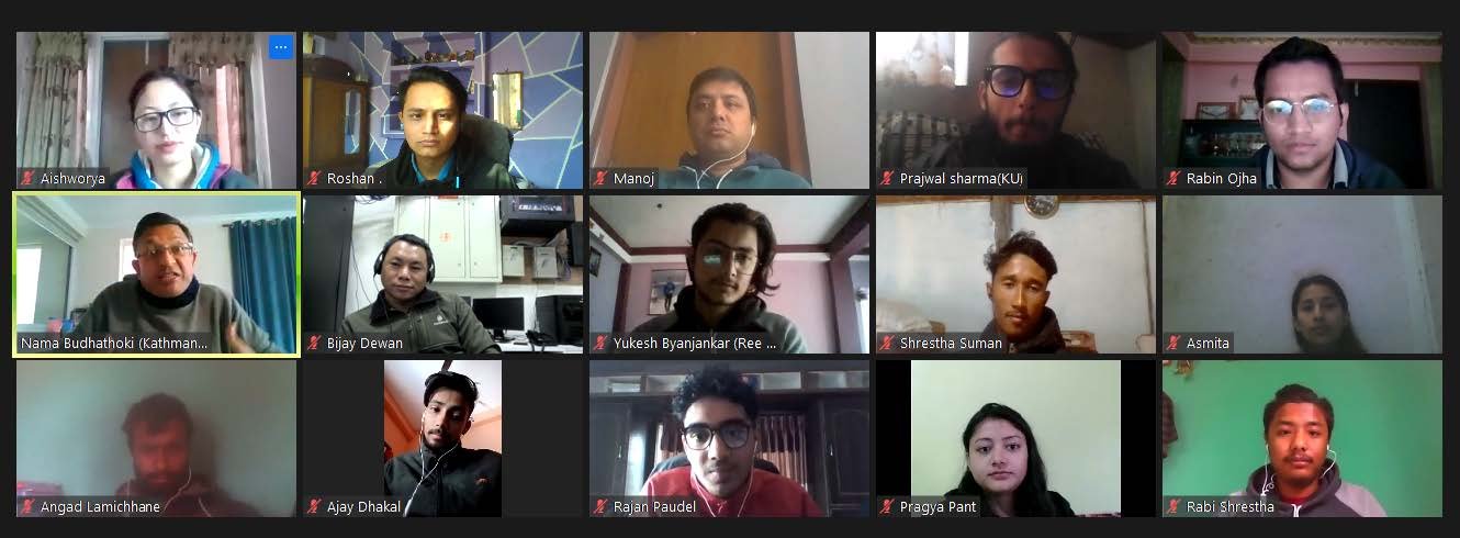
During the COVID-19 pandemic, the PEER team remotely trained more than 300 young people on the basics of open mapping and provided in-person training to a few schools. Further, they also organized an online mapping party to map Bardiya District of Nepal to celebrate the 17th birthday of OSM and a #VisibleWomen event to introduce OSM as a tool to address gender-based issues and introduce more women to OSM. They also mapped and validated OSM data in Thamel, Koteshwor, and Jadi Buti of Kathmandu and supported a monthly map and chat hour where OSM enthusiasts across the country could join in conversations. The team also published a monthly newsletter. The tourism sector of Nepal was deeply affected by the pandemic, and by mid-2021 after the number of COVID cases in Nepal had declined, the team was able to hold an in-person event to map the pandemic stricken tourism industry in Kathmandu. A total of 31 young volunteers mapped 751 businesses providing more than 40 categories of tourist amenities and services. Afterward, the team validated and uploaded the collected data on OpenStreetMap. For the businesses that were already on OpenStreetMap, the team updated their attributes and details.
PublicationsAishworya Shrestha, Nama Raj Budhathoki, and Nancy Erbstein. 2022. OpenStreetMap as a tool for skill building.
Proceedings of the Academic Track, State of the Map 2022, August 19 - 21, 2022, Florence, Italy.
https://doi.org/10.5281/zenodo.7004677 Kshitiz Khanal, Nama Raj Budhathoki, and Nancy Erbstein. 2019. Filling OpenStreetMap data gaps in rural Nepal: a digital youth internship and leadership programme.
Open Geospatial Data, Software, and Standards 4:12, 1-10.
https://doi.org/10.1186/s40965-019-0071-1