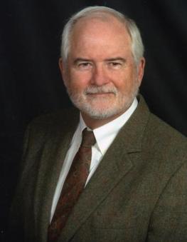
 | Dr. Jerome E. (Jerry) Dobson is a Professor of Geography at the University of Kansas and President of the American Geographical Society. He will spend academic year 2009-2010 as a National Academy of Sciences Jefferson Science Fellow at the U. S. Department of State. In 2009, the Geographic Information Systems and Science Specialty Group of the Association of American Geographers honored him with its Robert T. Aangeenbrug Distinguished Career Award. In 2008, the Cartography and Geographic Information Society (CaGIS) honored him with its first ever Distinguished Career Award for lifetime achievement, and he was inducted as an elected Fellow of the American Association for the Advancement of Science. He is a Fellow of the Royal Geographical Society and previously served as Chair of the Honors Committee of the Association of American Geographers. Dobson=s principal contributions include the paradigm of automated geography, his instrumental role in originating the National Center for Geographic Information and Analysis (NCGIA), his leadership of the effort to advance remote sensing methods for large-area change analysis as part of NOAA's Costal Change Analysis Program (C-CAP), and his leadership of the LandScan Global Population Database, which has become the de facto world standard for estimating populations at risk during natural disasters, wars, and terrorist acts (including biological and chemical agents). His current research includes testing a new system for mapping minefields without walking on them; designing and promulgating a new world standard for cartographic representation of landmines, minefields, and mine actions; and leading four AGS Bowman Expeditions to conduct fieldwork in Mexico, the Antilles, Colombia, and Jordan. State Department Profile
Dr. Jerome Dobson served as a senior scientist in the Office of the Geographer and Global Issues. His portfolio included four major topics of interest. The first was a focus on human geography, including the understanding of culture, language, lifestyles and livelihoods, through the Bowman Expeditions program. This program leads participatory mapping in a number of countries throughout the world, and Dr. Dobson with his office worked to expand the program in an effort to converge efforts across government agencies and organizations around the world. His second focus was to lead the progress of DemoBase, a new population database, which, in conjunction with the Census Bureau’s International Programs Center, is being developed country by country throughout the world. Dr. Dobson also worked to improve the use of geographic information systems in the State Department and Agency for International Development in order to improve their internal infrastructure and capacity to coordinate worldwide programs. Finally, Dr. Dobson authored an opinion editorial on the BP Oil Spill from a geographer’s perspective that was seen by a number of officials in the U.S. government. Dr. Dobson continues to participate in the Office of the Geographer efforts on human geography, participatory mapping and the Bowman Expeditions.
|


