|
Cycle 8 (2019 Deadline)
Application of partitioned woody and herbaceous forage estimates in index-based livestock insurance, a better alternative to NDVI as a proxy for forage index
PI: Milkah Kahiu (n.kahiu@cgiar.org), International Livestock Research Institute, in partnership with Jomo Kenyatta University of Agriculture and Technology
U.S. Partner: Niall Hanan, New Mexico State University
Project dates: January 2020 - December 2022
Project Overview
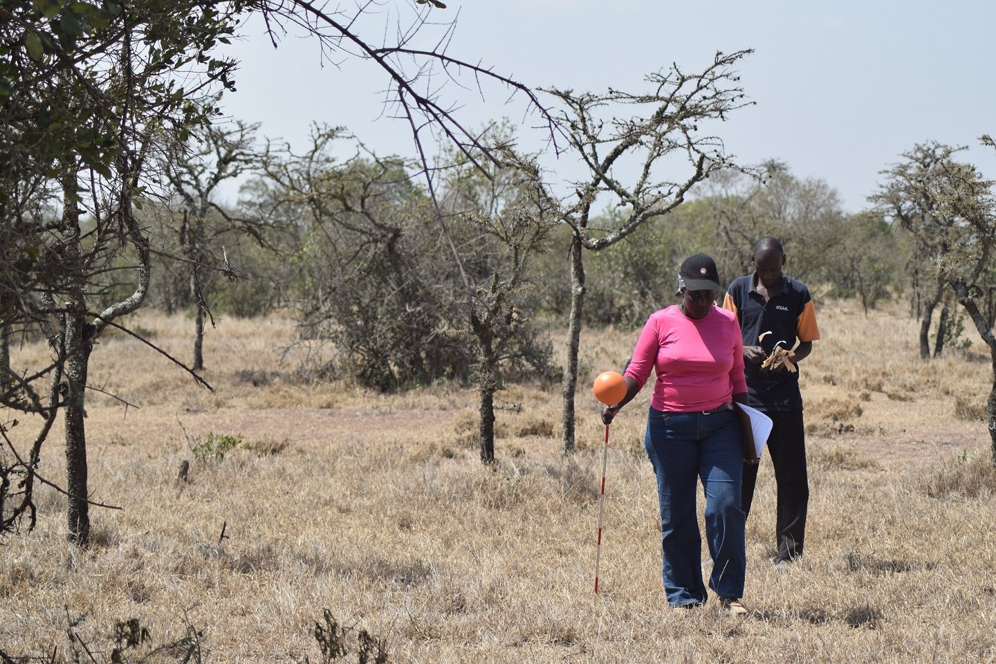 | | The project team surveys the land (photo courtesy of Dr. Kahiu). |
Pastoralists inhabiting African rangelands primarily depend on livestock for their livelihoods but remain extremely vulnerable to droughts, the single largest cause of livestock mortality in the region. To mitigate the devastating impacts of drought, the International Livestock Research Institute initiated Index-Based Livestock Insurance (IBLI) to cushion pastoralists. In 2015, the Kenyan government adopted IBLI through the Kenya Livestock Insurance Programme (KLIP), as part of a larger national social protection program. As of 2019, it provided coverage to nearly 20,000 households, with expansion plans to include not only Kenyan households but also those in Ethiopia, Niger, Uganda, and Somalia.
Current IBLI contracts are based on an independent index derived from the Normalized Difference Vegetation Index (NDVI) as a proxy for forage scarcity, thus making it immune to manipulations by insurance clients or companies. NDVI is an indicator of vegetation vigor or greenness for all vegetation in a landscape. However, livestock in pastoral systems largely feed on herbaceous foliage, limiting the precision of NDVI for estimating forage availability, especially in areas with significant tree and tall shrub cover. This also poses a challenge for planned expansion into agrosilvopastoral systems.
This PEER project explored alternative data sources for IBLI, including the use of new satellite products for estimating forage index, contract design, and feasibility analysis in Kenya. Dr. Kahiu and her colleagues focused on expanding the analysis to include both leaf area index (LAI) and NDVI data from the Suomi National Polar-Orbiting Partnership (NPP) Visible Infrared Imaging Radiometer Suite (VIIRS) to ensure continuity in data flows.
Final Summary of Project Activities
The PEER team derived an updated estimate for woody cover in the Horn of Africa, an important component of their leaf area index (LAI) partitioning approach, using Sentinel radar and optical data for 2018 through 2021. They used several different models and approaches developed by their U.S. partner and others to ensure that changes in woody cover over time were captured in the estimates.
As the MODIS satellite approaches decommissioning, the PEER team actively explored alternative data sources to ensure the continuity of the work, including the Visible Infrared Imaging Radiometer Suite (VIIRS). They compared estimates derived from the two satellites, which showed a 93% correlation between the aggregate LAI values obtained from both MODIS and VIIRS. They plan to continue with this analysis in other regions in Africa and potentially globally to understand the differences and potential time lags between the two products, especially during the early stages of vegetation growth.
Finally, the researchers studied the suitability of partitioned LAI estimates in IBLI forage models. They used historical livestock mortality data from northern Kenya to test two competing forage type models using a random forest regression approach. The team showed partitioned forage models, including woody and herbaceous forage.
The PEER group hosted a workshop to share their approach and results, published several academic papers, and presented their work at the 2020 and 2022 annual meetings of the American Geophysical Union. They also hosted a training with the Regional Centre for Mapping of Resources for Development focused on forage estimates derived from partitioned LAI, which was aimed at engaging a diverse range of stakeholders from pastoral regions in Kenya. Through the U.S. collaborator, the partitioned LAI products were also shared through a web portal for forage monitoring.
Publications
Njoki Kahiu, Julius Anchang, Lara Prihodko, Qiuyan Yu, and Niall Hanan. 2024. Satellite-based woody canopy cover for Africa: uncovering bias and recovering best estimates across years. Science of Remote Sensing 9: 100124. https://doi.org/10.1016/j.srs.2024.100124
Njoki Kahiu, Julius Anchang, Niall Hanan, W. Ji, L. Prihodko, and Q. Yu. 2023. Improving Earth observation derived characterization of woody vegetation for global drylands using ICESat-2 data: moving beyond canopy heights to biomass modeling. NASA Carbon Cycle and Ecosystems Joint Workshop, May 8-12, 2023, University of Maryland, College Park, MD. https://cce-datasharing.gsfc.nasa.gov/conferences/absbyid/221/35/h/1/
Rupsha Banerjee, Njoki Kahiu, Abdirahman Daud, Diba Galgallo, Francesco Fava, and Kelvin Shikuku. 2022. Product design process to support the De-risking, Inclusion and Value Enhancement of Pastoral Economies in the Horn of Africa (DRIVE) in Somalia. ILRI Research Report 107. https://cgspace.cgiar.org/bitstream/handle/10568/121928/RR107.pdf
Njoki Kahiu, Anton Vrieling, and Francesco P. Fava. 2021. A regional approach to drought index-insurance in Intergovernmental Authority on Development (IGAD) countries: Volume 3: technical feasibility assessment. ILRI Research Report 77. https://hdl.handle.net/10568/116668
Yihenew Zewdie, Rupsha R. Banerjee, Njoki Kahiu, and Wako Gobu. 2020. Pre-feasibility study for an index-based livestock insurance product in Meyumuluke woreda, East Hararghe, Ethiopia. ILRI Research Report. https://hdl.handle.net/10568/109698
S.S. Kumar, L. Prihodko, B.M. Lind, J. Anchang, W. Ji, C.W. Ross, M.N. Kahiu, N.M. Velpuri, and N.P. Hanan. 2020. Remotely sensed thermal decay rate: an index for vegetation monitoring. Scientific Reports 10(1): 9812. https://doi.org/10.1038/s41598-020-66193-5
J. Anchang, M.N. Kahiu, E. Ouko, L.W. Ndungu, W. Ji, Q. Yu, L. Prihodko, and N.P. Hanan. 2020. Year-round monitoring of vegetation conditions in an East African rangeland: implications for livestock forage production in response to climate variability and local system shocks. In AGU Fall Meeting Abstracts, vol. 2020, pp. GC132-05.
Back to PEER Cycle 8 Grant Recipients
|
|
|
|


