|
Cycle 8 (2019 Deadline)
Improved management of water and sediment yield in 3S basin – upper part of Mekong River Basin
PI: Duong Bui (duongdubui@gmail.com), National Center for Water Resources Planning and Investigation, in partnership with the National University of Civil Engineering
U.S. Partners: Venkataraman Lakshmi, University of Virginia, and Hyongki Lee, University of Houston
Project dates: December 2019 - November 2020
Project Overview
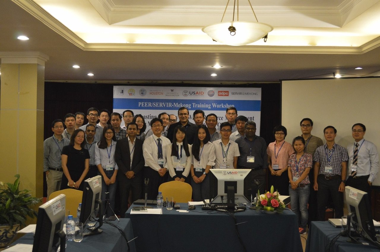
Through the project, the PI and his colleagues at the National Centre for Water Resources Planning and Investigation of Vietnam (NAWAPI) sought synergy with the NASA-funded project “Improved hydrologic decision support for the Lower Mekong River basin through integrated remote sensing and modeling, (2016-2019)” and the World Bank project “Understanding land use planning for the Vietnam Delta (2016-2019),” both of which were led by U.S. partner Prof. Venkataraman Lakshmi of the University of Virginia. In addition, the NAWAPI team worked with another U.S. partner, Dr. Hyongki Lee of the University of Houston, who is led two other NASA-supported projects. The ultimate goal of the new PEER partnership was to scale up the beneficial impact of state-of-the-art research in water management for the Mekong Delta residents of Vietnam, one of the most vulnerable regions to various climate change and water-induced challenges today. More specifically, the project aims to build capacity in water and sediment yield management agencies of Vietnam to independently use tools recently developed tools by the U.S. partners’ universities to address some of the most critical current questions in the region. Once all the new mainstem dams built by upstream countries on the Mekong become fully operational, how will they impact freshwater inflow downstream, as well as food production and the nutritional status of the population? Which regions within the Mekong will be more vulnerable to adverse impacts of upstream reservoir construction? These questions would apply similarly for ongoing and planned dam development, with critical impacts on downstream water, food, and energy in the region.
The Mekong River Basin is one the world’s most productive and diverse ecosystems. The Vietnamese Mekong Delta is a “rice bowl” for the country, providing more than one-half of the country’s rice yields, and the river is second only to the Amazon in terms of its diversity of freshwater fish species. However, due to the operational dams, the hydrologic flow changes and sediment trapping could have severe consequences to the river’s floodplain, reducing the sediment transport and nutrient loads for the Mekong Delta and threatening food security for the region. At the time the project began in 2019, NAWAPI had recently completed a water planning project for the Srepok River, part of the 3S Basin. However, the results were limited only to water allocation planning and included only initial results from a field survey on water quality for the Srepok portion of the 3S Basin only. Meanwhile, given that there are more than 40 upstream hydroelectric dams in this basin, the evolution of the total amount of sediment will be a very important issue because it directly affects rice farming, fisheries, and other related industries in the downstream area. Therefore, the main purpose of this project was to build on the outcomes of the previous project to develop the next step for calculating the amount of sediment yield in the basin. Combined with socioeconomic development factors and climate change scenarios, a modelling tool could simulate streamflow and sediment for various scenarios to optimize dam operations to balance economic development and ecosystem requirements and help key government stakeholders make decisions on the sustainable management of water and sediment yield for the Vietnamese people.
Final Summary of Project Activities
 | | The project team conducts a training in the summer of 2020 (photo courtesy of Dr. Bui). |
Dr. Bui and his team developed a database consisting of satellite-based products and ground observations of different variables, including rainfall, sediment, and streamflow, as well as a well-calibrated model that can predict streamflow, sediment, and reservoir operation with respect to various scenarios in the 3S River Basin (the upper part of the Mekong River Basin). This study not only has scientific significance for improvement of current sustainability frameworks but also provides an evidence-based toolkit useful for decision makers to respond and adapt to climate change. The PEER project’s outcomes are providing necessary inputs for two other recently funded projects on which Dr. Bui serves as co-PI: a National Foundation for Science and Technology Development project on evaluating sustainability of the water resources system of the 3S Basin and a United Kingdom Newton Fund project studying river bank erosion in the downstream delta due to changes in sediment yield from the upstream basin.
The PEER project created two key online dissemination products in cooperation with U.S. partners at the University of Washington:
The team also produces a monthly water newsletter for distribution to the central water authority (the Water Department under the Ministry of Natural Resources and Environment, MONRE) and the relevant local authorities in five provinces over the study basin. Uptake from government agencies has been strong. Dr. Bui notes that based on the results of his team’s research, they had identified methods for conserving soil and preventing erosion in the study region. MONRE issued Circular No 4 on water resources planning that presents a conservation strategy and recommendations reflecting findings from the PEER project. In addition, the team’s understanding of the procedures on how to use the HYPE model and how to manage the project database has been translated into an operational regulation for water resource monitoring and forecasting at NAWAPI (Guideline No. 262).
The young Vietnamese researchers who participated in the project improved their technical skills to the point that they can now function independently using the new tools and technologies they mastered through the mentorship of the U.S. partners. This will allow Vietnamese specialists to develop their own solutions for water and sediment forecasts, including space techniques, data bias correction, modelling, coding, cloud computing and webGIS development. The PEER project also fostered an ecosystem model of regional scientist-practitioners and U.S. partners that effectively supports translating research findings into applied products and policy formulation. Cooperation with other national, regional and global initiatives will provide a strengthened mechanism for the exchange of developed solutions worldwide.
Publications
Tien L.T. Du, Hyongki Lee, Duong D. Bui, Berit Arheimer, Hong-Yi Li, Jonas Olsson, Stephen E. Darby, Justin Sheffield, Donghwan Kim, Euiho Hwang. 2020. Streamflow prediction in “geopolitically ungauged” basins using satellite observations and regionalization at subcontinental scale. Journal of Hydrology 588: 125016
https://doi.org/10.1016/j.jhydrol.2020.125016
Bui Phuong Thao, Bui Du Duong, Bin Fang, Venkat Lakshmi 1, Hoang Van Hung, Le Manh Hung, Bui Du Duong. 2020. Development of a high resolution soil moisture data portal for Greater Mekong region. Presented at the American Geophysical Union Fall Meeting 2020.
https://agu2020fallmeeting-agu.ipostersessions.com/default.aspx?s=92-9F-D5-49-71-92-B3-A9-A0-5B-6B-40-35-D7-54-2E
Back to PEER Cycle 8 Grant Recipients
|
|
|
|


