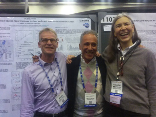
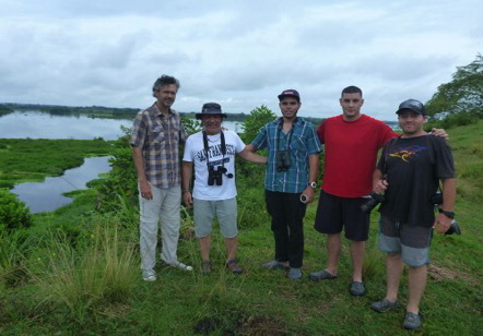
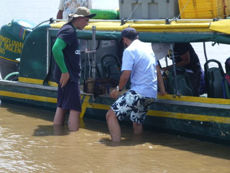
Dr. Restrepo and his colleagues used a satellite-based technique to measure river discharge at selected sites for the main northern Andean River, the Magdalena, back calculating daily river discharges over a period of two decades, thus making it possible to determine return intervals of significant flood events. Their findings show that satellite-based river discharges capture the inter-annual variability of stream flow measured at ground-based gauging stations, the natural seasonality of water discharge along the lower Magdalena floodplains, and the peak discharges that were observed during La Niña events in 2008-2009 and 2010-2011.
The La Niña events are likely more accurate compared to ground-based gauging stations, as ground-based stations tend to overflow during large flood events and as such are hampered in accurately monitoring peak discharges. The PEER team also found that these derived discharges can form the base to study river-floodplain connectivity, providing environmental decision makers with a technique to better monitor river and ecosystem processes.
The PEER team also convened a workshop, in which the PI and three other scientists developed a syllabus for a course on Rivers of the Americans in the Anthropocene, presenting it to graduate programs of the researchers’ four universities. The team also developed a new graduate course at EAFIT, inspired by the PEER project and its findings, called “Watershed Management for Environmental Protection.”
The PI and U.S. partner published their findings, presented their work at an AGU Oceans meeting in early 2020, and published a special report in the journal El Eafitense. The satellite daily water discharge data have been incorporated in the dynamic model of runoff dispersion into the bay, and the team shared their findings and technique for obtaining satellite-derived water discharge in near real time with the technical team at the Magdalena River Environmental Authority. The data will be incorporated in the GPS navigation system along the river, especially for assessing discharge variability in some river reaches.
PublicationsLuz Jiménez-Segura, Juan D. Restrepo-Ángel, and Andrés Hernandez-Serna. 2022. Drivers for the artisanal fisheries production in the Magdalena River.
Frontiers in Environmental Science 10:866575.
https://doi.org/10.3389/fenvs.2022.866575 Juan D. Restrepo A., Albert J. Kettner, and G. Robert Brakenridge. 2020. Monitoring water discharge and floodplain connectivity for the northern Andes utilizing satellite data: A tool for river planning and science-based decision-making.
Journal of Hydrology 586: 124887.
https://doi.org/10.1016/j.jhydrol.2020.124887 Juan D. Restrepo and Heber A. Escobar. 2018. Sediment load trends in the Magdalena River basin (1980–2010): Anthropogenic and climate-induced causes.
Geomorphology 302: 76-91.
https://doi.org/10.1016/j.geomorph.2016.12.013 Rogger Escobar C., Juan D. Restrepo, G.R. Brakenridge, and A.J. Kettner, A.J. 2017. Satellite-Based Estimation of Water Discharge and Runoff in the Magdalena River, Northern Andes of Colombia. In: Lakshmi, V. (eds)
Remote Sensing of Hydrological Extremes. Springer Remote Sensing/Photogrammetry. Springer, Cham.
https://doi.org/10.1007/978-3-319-43744-6_1 J.D. Restrepo, A.J. Kettner, and J.P.M. Syvitski. 2015. Recent deforestation causes rapid increase in river sediment load in the Colombian Andes.
Anthropocene 10: 13-28.
https://doi.org/10.1016/j.ancene.2015.09.001 


