|
Cycle 4 (2015 Deadline)
Scaling up of satellite-assisted flood forecasting systems in south and southeast Asian nations
PI: Md. Sohel Masud (msm@iwmbd.org), Institute of Water Modeling, with co-PI Md. Sazzad Hossain (sazz176@yahoo.com), Flood Forecasting and Warning Center
U.S. Partner: Faisal Hossain, University of Washington
Project Dates: January 2016 - June 2018
Project Overview
South and southeast Asian countries are frequently hit by floods causing loss of lives and property damage. Almost every year in the recent past, a flood has struck in regional countries such as Bangladesh, India, Nepal, or Pakistan. Flood management practices currently available in most of these countries are structural or non-structural. Structural solutions like embankments and other related structures require huge amounts of resources and time. Other non-structural means of flood management include early warning and proactive preparation. In Bangladesh, flood forecasting and warning services (FFWS) have been practiced and have proven effective. FFWS have been providing effective. The Flood Forecasting and Warning Center (FFWC), under the Bangladesh Water Development Board (BWDB), was established in 1972 and contributes to preparations at the agency and community levels for flood disaster management in Bangladesh. Back when the Center began, it could only provide flood warnings a few hours in advance, but by 2014 they could issue such warnings 8 days in advance, thanks to NASA satellite data from JASON-2. The FFWC disseminates its flood warnings by e-mail, text messages, fax, and its own dedicated website. Without data from JASON-2, however, these warnings could be issued only 3-5 days in advance of an impending flood.
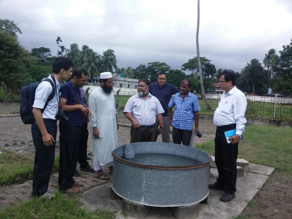
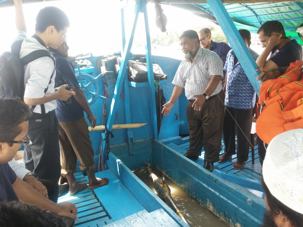
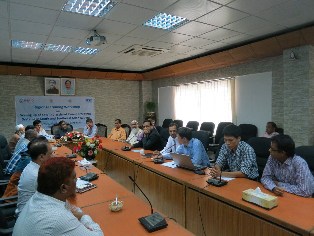
At this stage FFWC is technologically and logistically confident and willing to share the knowledge and skill it has acquired to other south and southeast Asian countries to enhance their capacity for flood early warning. Because flooding is a shared problem for countries in the same basin or climate, a shared vision to manage floods together by sharing experience and training is essential for a better and more flood-safe world. In this project, stakeholder agencies with flood management responsibilities in their countries will learn about FFWC operations for flood warning generation and dissemination. The U.S. Government-supported partner will lead a special training and outreach session on the value of multi-satellite platforms to improve river modeling, hydrologic modeling, and flood forecasting in situations where ground data are limited or missing entirely. Through this training, the agencies will learn about ways to build a tailored system for beneficiaries in their own countries. They will be able to decide collaboratively how satellite data can be implemented for their water resource management.  |  |  | | Dr. Masud leads the first training workshop in July 2016, which included hands-on exercises in the field, as well as group discussions and presentations (photo courtesy of Dr. Masud). |
Final Summary of Project Activities
The FFWC, under the BWDB of the Ministry of Water Resources of the Government of Bangladesh, in coordination with the Institute of Water Modelling (IWM), a trustee under the Ministry, successfully organized regional training workshops in two consecutive years as part of this now-completed project. The workshops were held July 24-28, 2016, and July 9-13, 2017. U.S. partner Dr. Faisal Hossain of the University of Washington transferred crucial knowledge and know-how regarding the satellite-assisted flood forecasting system to the Bangladeshi PEER team, who subsequently shared it with other flood management agencies of the South Asian region that sent participants to the workshops. Participating agencies included the Department of Hydrology and Meteorology (Hydro-Met) of Vietnam, the Department of Hydrology and Meteorology (Hydro-Met) of Nepal, the Institute of Environmental Science and Engineering (IESE) of Vietnam; the Royal Irrigation Department of Thailand, the Department of Meteorology and Hydrology of Myanmar, the Lao National Mekong Committee Secretariat of Laos, the Asian Disaster Preparedness Center of Thailand, and several local Bangladeshi agencies such as the Bangladesh Meteorological Department, Department of Disaster Management, the Institute of Water and Flood Management, and the Local Government Engineering Department. To facilitate effective training for the participants, PEER funds supported some infrastructural improvements at the FFWC facilities. Human capacity development was also supported through tailored training in the United States on state-of-the-art satellite technologies for flood forecasting. One staff member from IWM visited Dr. Hossain and his team at the University of Washington for two weeks in April 2017, and three professionals from BWDB visited UW for two weeks in November 2017. To close out the project, the PI and his colleagues implemented a follow-up training program at BWDB from May 29, through June 28, 2018. This training activity allowed the staff trained at UW to share their new skills and knowledge on satellite-based flood forecasting with a larger group of BWDB professionals.
The training and technology transfer activities supported under this project have also facilitated an important new forecasting and data sharing platform. The Flood Forecasting and Warning Center (FFWC) of BWDB is now providing an 8-day lead-time flood forecast based on satellite technology at selected locations in Bangladesh. The site can be accessed at www.ffwc.gov.bd/index.php/hydrograph/gfs-based-forecast. The new flashflood system for the northeast region is online now at depts.washington.edu/saswe/flashflood and is being tested by FFWC and the Bangladesh Water Development Board. Researchers and technical staff of the relevant stakeholder agencies will continue their efforts to make further improvements in the sites and the overall flood forecasting capacity of Bangladesh. The PI also reports that he hopes to build on the new linkages created with other national agencies in the region to explore further opportunities for joint collaborative research on flood management within the Ganges-Brahmaputra-Meghna and Mekong Basin countries.
Back to PEER Cycle 4 Grant Recipients
| 


