|
|
Cycle 4 (2015 Deadline)
GRECHLIM PI: Tamiru Abiye ( tamiru.abiye@wits.ac.za), University of the Witwatersrand, with co-PI Karen Villholth, International Water Management Institute U.S. Partner: Richard Healy, U.S. Geological Survey Project Dates: November 2015 - March 2019
Project Overview
As groundwater resources are increasingly developed and impacted by human development, understanding the sustainability of their use and renewability is fundamental. Groundwater recharge processes (defined as the downward flow of water reaching the water table) govern the replenishment of groundwater systems (also called aquifers). Recharge is a critical part of the overall water budget and is one of the most difficult components to quantify. The Limpopo River Basin (LRB) counts on a few very high-yielding dolomite aquifers, as well as large tracts of smaller and less productive crystalline aquifers, each having different recharge processes and groundwater management issues associated with them. While emerging research and incipient field evidence in the LRB suggest that recharge in these semi-arid environments is episodic and driven by climate extremes (van Wyk et al., 2011), simplifying assumptions around annual and steady replenishment persist. This misinterpretation implies a false perception of continuous replenishment and resource security, while in reality the renewal is sporadic and dependent on fewer and interspersed (often decadal) extreme rainfall events. Another conventional perception or approximation is that recharge occurs as a uniform and diffuse or omnipresent process in the landscape, while it is often governed by preferential pathways at different scales, e.g. through fractures in the subsurface, through intermittently flooded and inundated areas and flow channels, like rivers, or at mountain fronts. Finally, understanding groundwater renewability and upper limits for exploitation in an environmental/ecosystem context is in a relatively early stage. This project builds on existing research to (1) better determine processes, quantities, and locations of recharge in the LRB, and (2) use this information in groundwater development, use, and management in selected sites.
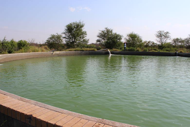 | Groundwater pumping for irrigation in the Dendron area. Photo courtesy of Dr. Abiye |
The key development impact of the GRECHLIM Project is to increase the capacity of young scientists, as well as local and national authorities, to assess groundwater recharge from applied field investigations carried out as part of the project and linked to ongoing initiatives. The capacity development will be part of the students’ theses and supported by dedicated and hands-on training at the facilities of the U.S. Geological Survey (USGS).
The other significant strand of development impact will be pursued through strategic partnerships with stakeholders and entities involved in water resources management in the LRB. These range from the transboundary LRB organization LIMCOM (Limpopo Watercourse Commission) to the local farmers and water utilities interested in augmenting their resources and improving their services. Exploring linkages and collaboration with climate/seasonal forecasting entities like the Southern Africa Regional Climate Outlook Forums will be pursued and their capacity to incorporate aspects of groundwater information in their forecasts supported.
Finally, findings will be synthesized as guidelines and tools for managed aquifer recharge, for predicting groundwater availability as a function of climate and land use, and for assessing upper limits for groundwater exploitation based on environmental flow requirements. The tools and guidelines will be developed in partnership with relevant stakeholders and shared as part of consultations and workshops.
Final Summary of Project Activities
The project investigated groundwater recharge rates and processes, particularly in Johannesburg, highlighting the influence of climate variables on baseflow and the balance between natural stream flow and wastewater contributions. Johannesburg's rainfall, sourced from various sources, presents challenges in groundwater assessment due to isotopic variations. Recharge predominantly occurs in the south of the Upper Crocodile River Basin through fractures and cavities in quartzites and dolomites. The study's outcome, shared through stakeholder meetings and publications, emphasizes the sensitivity of stream flow to climate changes and predicts increased wastewater alongside decreased baseflow, leading to heightened pollution risks.
Additionally, the International Water Management Institute conducted physico-chemical water quality analysis and employed various methods to estimate river flow contributions and groundwater-surface water interactions in the Letsitele Catchment. Understanding these interactions is crucial due to commercial farming and water supply infrastructure in the area, aiding in evaluating aquifer sustainability and informing water resource management decisions.
The PEER team continuously engages the Department of Water and Sanitation (DWS) so that can they can start to use the recharge methods and groundwater-surface exchange methods that they tested in this study. They will also encourage DWS to continue monitoring groundwater for management and planning purposes and policy development.
Publications
Abiye, T., Masindi, K., Mengistu, H., Demlie, M. Understanding the groundwater-level fluctuations for better management of groundwater resource: A case in the Johannesburg region, Groundwater for Sustainable Development, Volume 7, 2018, Pages 1-7, ISSN 2352-801X, https://doi.org/10.1016/j.gsd.2018.02.004.
Leketa, K., Abiye, T. & Butler, M. Characterisation of groundwater recharge conditions and flow mechanisms in bedrock aquifers of the Johannesburg area, South Africa. Environ Earth Sci 77, 727 (2018). https://doi.org/10.1007/s12665-018-7911
Leketa, K., Abiye T., Zondi, S., Butler, M., Assessing groundwater recharge in crystalline and karstic aquifers of the Upper Crocodile River Basin, Johannesburg, South Africa, Groundwater for Sustainable Development, Volume 8, 2019, Pages 31-40, ISSN 2352-801X, https://doi.org/10.1016/j.gsd.2018.08.002.
Back to PEER Cycle 4 Grant Recipients
|
|
|
|


