|
Cycle 5 (2015 Deadline)
GIS and remote sensing application for assessment of land degradation in the Lower Mekong River Basin
PI: Quyet Vu (quyetvm.sfri@mard.gov.vn), Soils and Fertilizers Research Institute
U.S. Partners: John Bolten, NASA Goddard Space Flight Center, and Venkat Lakshmi, University of Virginia
Project Dates: December 2016 - July 2019
Project Overview
Land and forest are being overexploited in the Lower Mekong River Basin (LMB) due to the pressure of rapid economic development and high population growth. These factors may impact the functions and services of land ecosystems, including biomass productivity. Because human livelihoods in the LMB still rely strongly on agricultural production, land degradation will be a significant issue for development strategies. In tropical regions, poverty and land degradation are often part of a downward spiral: poverty and economic marginalization lead to overexploitation of land resources, resulting in land degradation, which then leads to more serious poverty. To combat land degradation, policy makers often need information to identify areas of most intense degradation in order to plan strategic interventions. The specific objectives of this project included
- Producing a map of geospatial biomass productivity decline for the LMB (Vietnam, Laos, Cambodia, and Thailand), using long-term biomass productivity trends as a proxy for land degradation;
- Differentiating human-induced land degradation from climate-driven signals by examining the temporal correlation between long-term biomass productivity trends and climate data; and
- Identifying potential underlying processes (population density, soil/terrain conditions, and land-cover types) that affect land degradation.
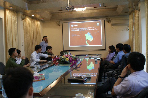 | 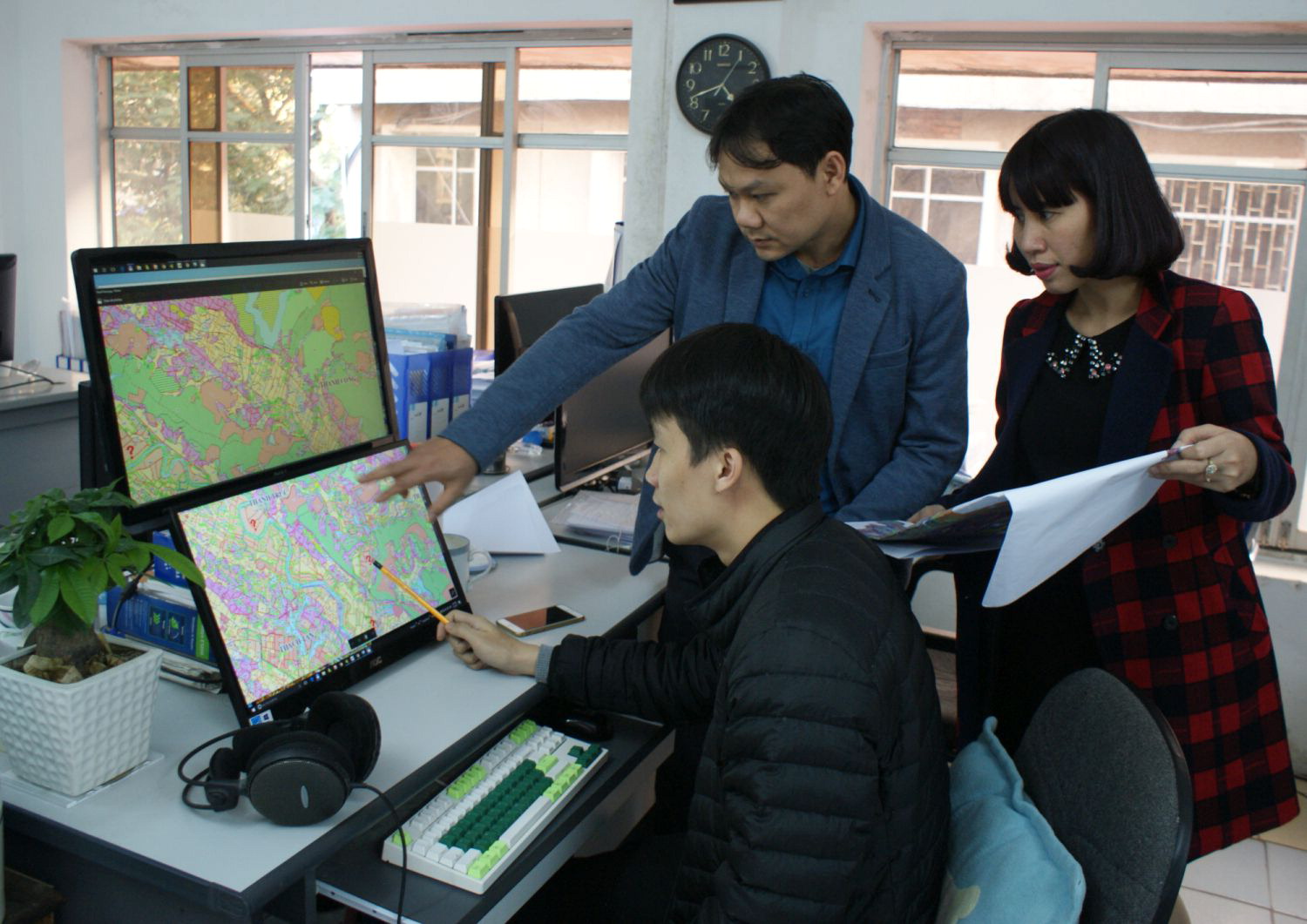 | | The team introduces the project to the local research community. | Key team members review available maps and satellite images. |
Final Summary of Project Activities
This study aimed to delineate the geographic hotspots of land degradation in the Lower Mekong Basin (LMB) countries (Vietnam, Cambodia, Laos, and Thailand) as observed from space by tracking the greenness of the vegetation signal expressed in the Normalized Differenced Vegetation Index (NDVI). A long-term time-series (1982–2015) of NDVI at a resolution of approximately 9.16 km x 9.16 km was used to specify the areas with significant decline or increase in productivity, and rainfall time-series maps were used to identify areas that might have been affected by land degradation from those correlated with rainfall. With these data, the PI and his group examined the relationships between land degradation and land attributes, such as climate, population density, soil/terrain conditions, and land-cover types. They identified land degradation in different climate zones in relation to population density, finding that most of the land degradation areas were located in areas of low population density. Only some areas in the Mekong River Delta, the cities in the Northwest of Vietnam and the areas near Bangkok, Thailand show land degradation with high population. Finally, in order to obtain a better insight into where exactly this degradation is occurring, the land degradation map was cross referenced with the land cover map of SERVIR Mekong to differentiate the degradation areas according to land cover types. In the absence of other instruments for monitoring the rate of land degradation in the LMB, satellite‐based systems offer the best hope for tracking the state of this vital natural resource. The team found that about 15% (186,228 km2) of the total land mass of the four countries studied experienced land degradation over the last 34 years. The largest degraded areas were found in Cambodia; Northwestern Vietnam; the Highlands of Vietnam; the Northern Mountains of Thailand and Laos; and the mountainous border between Laos, Vietnam, and Cambodia. By relating these hotspot areas of land degradation in the basin with different attributes of the region, the researchers found that deforestation, conversion of land use, and pressure of population in urban areas are the potential processes that play important roles in degradation.
The findings of this study provided a broad overview of land degradation for LMB countries based on biomass productivity, even though the maps and assessments made by this study need further verification in the field. The study can be used to offer guidance to the research community and to policy makers. With better data identifying areas of land degradation, it could help policy makers in prioritizing limited budgets and planning strategic interventions. Based on the hotspots of land degradation that have been better defined, research organizations should be able to select pilot research sites where in‐depth research can be undertaken to assess land degradation and design sustainable land management options. The maps created with PEER support are expected to be posted on the website of the SERVIR Mekong project (https://servir.adpc.net/) to ensure broad access.
Dr. Vu and his colleagues published their first paper on the project in 2018 (see citation below). The paper outlines the trends of NDVI data derived from AVHRR/NOAA and Terra MODIS in the overlapping period (2001-2015). The authors analyze these trends and examine the relationship with rainfall from CHIRPS data. They found that the trend over 15 years of human-induced biomass productivity declines from the two datasets was relatively similar (around 13-14% total land mass). In addition, they note in the paper that MODIS NDVI data with a shorter tracking time can be used as in complementary fashion to existing NDVI AVHRR data sources. In 2019, they also published a book on their work (in Vietnamese) entitled Biomass Productivity-Based Assessment on Land Degradation in the Lower Mekong Basin, including all their results, data, and maps. It is available for download through the link below. Their first English language paper on the project appeared in Remote Sensing in 2019.
In addition to publications, the team is also continuing to disseminate their results and approaches to the academic community through conferences and workshops. Among other venues, the project will be presented at the International Conference “Integrated Land and Water Management and Climate Change in Vietnam and Japan” in Hanoi November 18-20, 2019. The research team will also continue their work thanks to two new grants they received in 2019. Dr. Vu is co-PI on a new project entitled “Developing and promoting market-based agroforestry and forest rehabilitation options for northwest Viet Nam,” which is funded by the Australian Centre for International Agricultural Research (ACIAR) through the World Agroforestry Centre (ICRAF). He is co-leading “Objective 2: To understand suitability of different agroforestry options in relation to different contexts, and create linkages to markets and government programs and policies to scale up adoption” and will participate in some other objectives of the project. The grant supporting Objective 2 totals approximately U.S. $150,000. The Department of Science and Technology of Lai Chau Province (Vietnam) has also provided about $35,000 to support another new project on which Dr. Vu is co-PI. It is entitled “Studying and evaluating soil quality in the rice paddy fields for planning and developing high quality rice product in Lai Chau Province.” Dr. Vu and his colleagues also remain in contact with U.S. partners Dr. John Bolten and Dr. Venkat Lakshmi to continue their collaboration and plan new research efforts. Their joint paper on the results of this PEER project was published in the journal Remote Sensing on November 26, 2019 (see citation and link below).
Publications
Vu, M.Q.; Lakshmi, V.; and Bolten, J. 2019. Assessment of the Biomass Productivity Decline in the Lower Mekong Basin. Remote Sensing 2019, 11(23):2796 https://doi.org/10.3390/rs11232796.
Vu, M.Q,; and Nguyen, Q.H. 2019. Mapping of land degradation in Vietnam using NDVI MODIS time-series. In Proceedings of the Conference on Integrated Land & Water Management and Climate Change in Viet Nam and Japan, Ha Noi, Vietnam, November 18, 2019. https://qldd.vnua.edu.vn/Portals/1091/Khoa%20QLDD/Hoi%20thao/10%20Quyet%20vu%20manh_final.pdf
Vu Man Quyet, Nguyen Dan Tri, Tran Thi Minh Thu, John Bolten, and Venkat Lakhshmi. 2018. A comparison of human-induced biomass productivity decline in the Lower Mekong Basin countries using annual NDVI time series derived from NOAA AVHRR and Terra MODIS. Ho Chi Minh City University of Education Journal of Science 15(11B): 94-100 (in Vietnamese). http://hcmup.edu.vn/images/stories/site_51/tap-chi/CN/11b.2018/12.vo%20manh%20quyet_revised_9.pdf
Back to PEER Cycle 5 Grant Recipients
|
|
|
|


